
Highlights:
-Large area of mature forest
-Easy-to-access wetland and riparian habitat
-7 Total miles of Trails
The Location
LLELA is an urban wilderness area just below the dam of Lake Lewisville, and is mostly bottomland forest within the floodplain of the Elm Fork of the Trinity River.
When the dam was built in the 1950s, some 2000 acres below the dam was designated for flood control, preventing development and urban creep into the space. This allowed for the area to grow in a natural and mostly undisturbed manner, creating a wonderful space for wildlife.
The property as it exists today is a collaboration between the City of Lewisville, the University of North Texas, Lewisville Independent School District, and with approval from the U.S. Army Corps of Engineers.
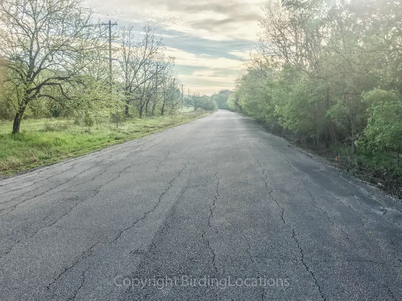
One main road runs parallel to the dam along the length of the property, and all parking lots and trail heads stem off this road.
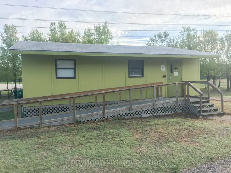
When you first drive past the front gate you’ll quickly come upon a security booth. Stop here to pay the $5 entrance fee (per vehicle). You can get a trail map here as well. From here you can move up and turn right to visit the visitor center (open weekends only), or continue on to the different trail heads and eventually the spillway.
Birding Recommendations
The three main areas or habitats of interest are:
1. Bottomland forest with small grassland patches
2. The dam spillway
3. Bittern Marsh
Before hitting any trails, consider stopping by the visitor center. Even if you don’t go inside, the area around the visitor center can be quite birdy.
Walking around the gravel parking lot for 10 minutes and watching the feeders behind the visitor center building can get your species list off to a good start. Note: the visitor center is only open on weekends.
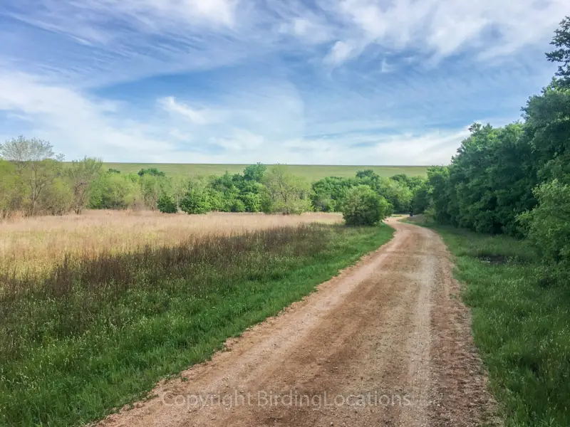
Cottonwood Trail, located at the center of the property, is a great trail for plenty of more open, grassy patches among the hardwood forest. The majority of the property is woodland or riparian area, so easy access to these restoration-in-progress prairies is good for diversifying the wildlife you’re likely to see.
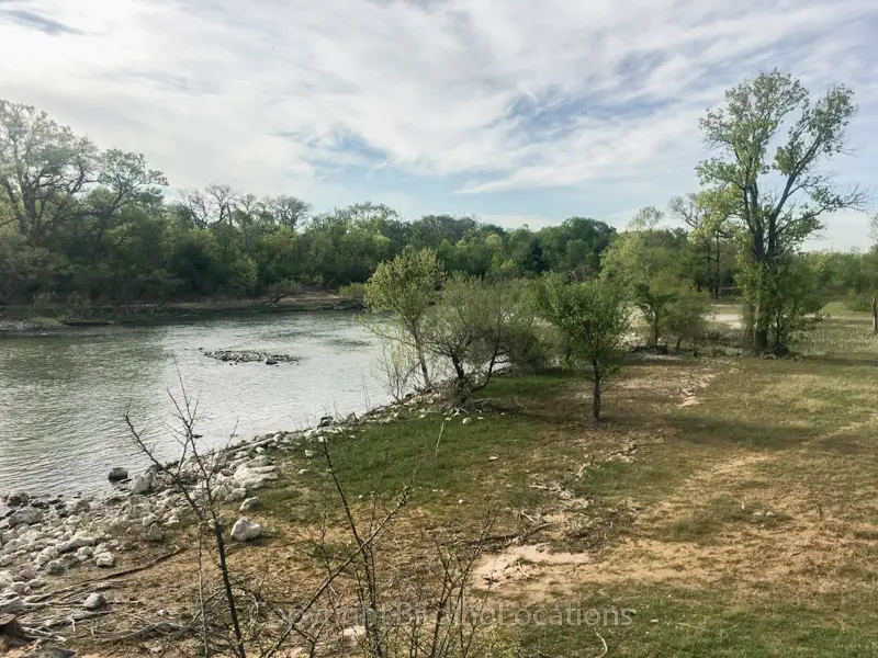
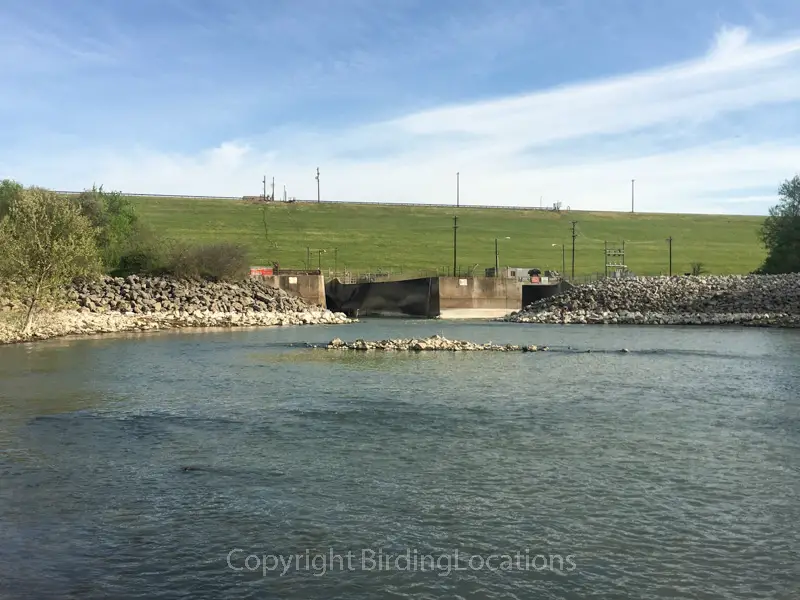
After Cottonwood Trail, head to the spillway where the main paved road dead ends. Here you can walk downstream and explore the primary floodplain, or walk along Redbud Trail.
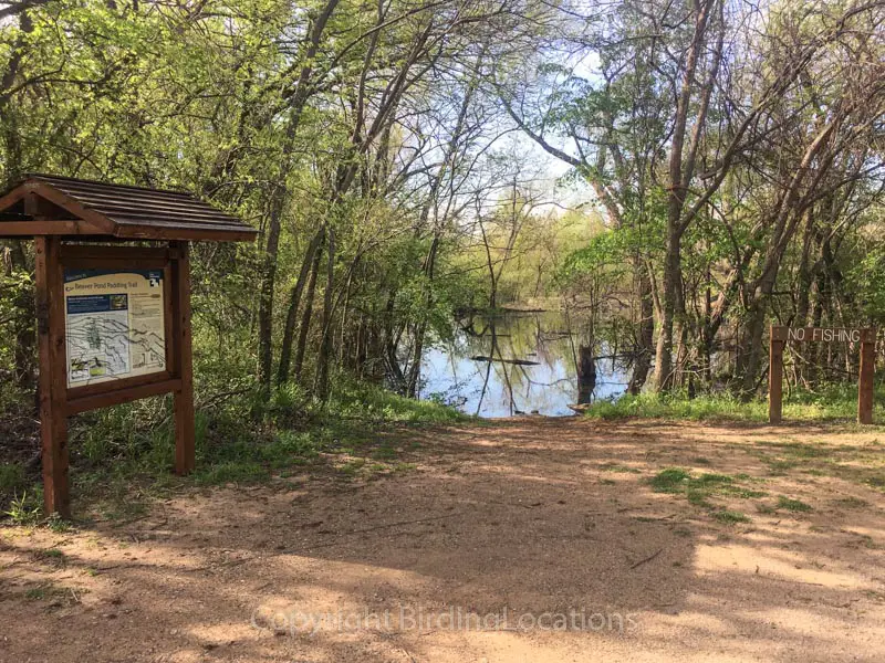
The Bittern Marsh Trail is accessed by walking through the fenced area just above the spillway and crossing over to the other side. This trail is the longest of all the trails at 2.1 miles round trip, so consider bringing water with you.
Much of Bittern Marsh Trail follows closely along the Elm Fork of the Trinity River until it pulls away to loop around a marsh approximately 7 acres in size, depending on recent rainfall. There are two blinds, the low blind and the high blind. The high blind is built on top of a platform raised up about 6 feet in the air by stilts. This gives birders great views over the vegetation covering much of the water surface.
Because this property is located in a flood plain, many trails can have spots underwater after heavy rainfall or wet periods. Bittern Marsh Trail is especially affected by this. Check current trail conditions at the link in the section below.
As you walk the property you’ll likely see flyovers attracted by Lake Lewisville, which is frustratingly just out of the view whole time (but is easily accessed by nearby Lake Lewisville Park). Expect gulls, osprey, and possibly pelicans soaring overhead.
Other Important Info
The visitor center is only open on weekends due to it being entirely staffed by volunteers. It opens Saturdays at 9am and Sundays at 1pm.
Trail Map (link)
Current Trail and Water Conditions (link)
Happy Birding!