
Highlights:
- Easy birding from car and on foot
- Open water at Soil Conservation Site 9
Trail Length:
~1.75 mi., all drivable
The Location
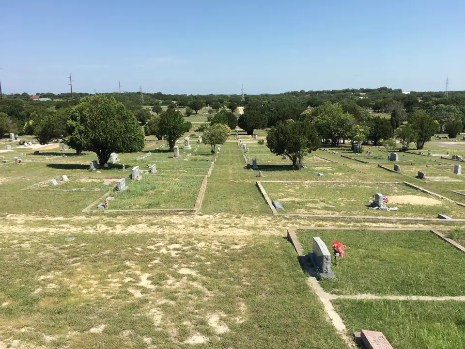
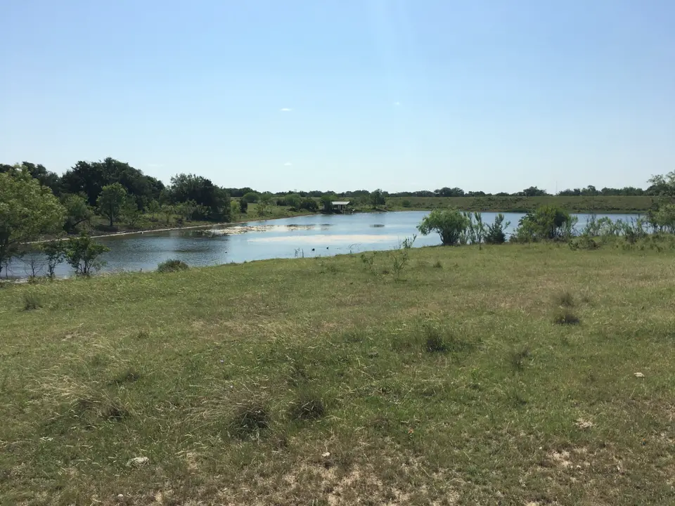
The cemetery is approximately 60 acres that wraps around Soil Conservation Site 9. As you drive in the front and narrow middle stretch of road is a mix of wooded and open spaces, while the spacious back area is located on a hill. The bottom of the hill provides the best point to view the reservoir, while the top of the hill is somewhat rockier than the rest of the property.
Access can be gained from North Ridge Street or from North Porter Street. Ridge Street will likely allow you to see more birds due to the longer entrance road and exposure to more habitat.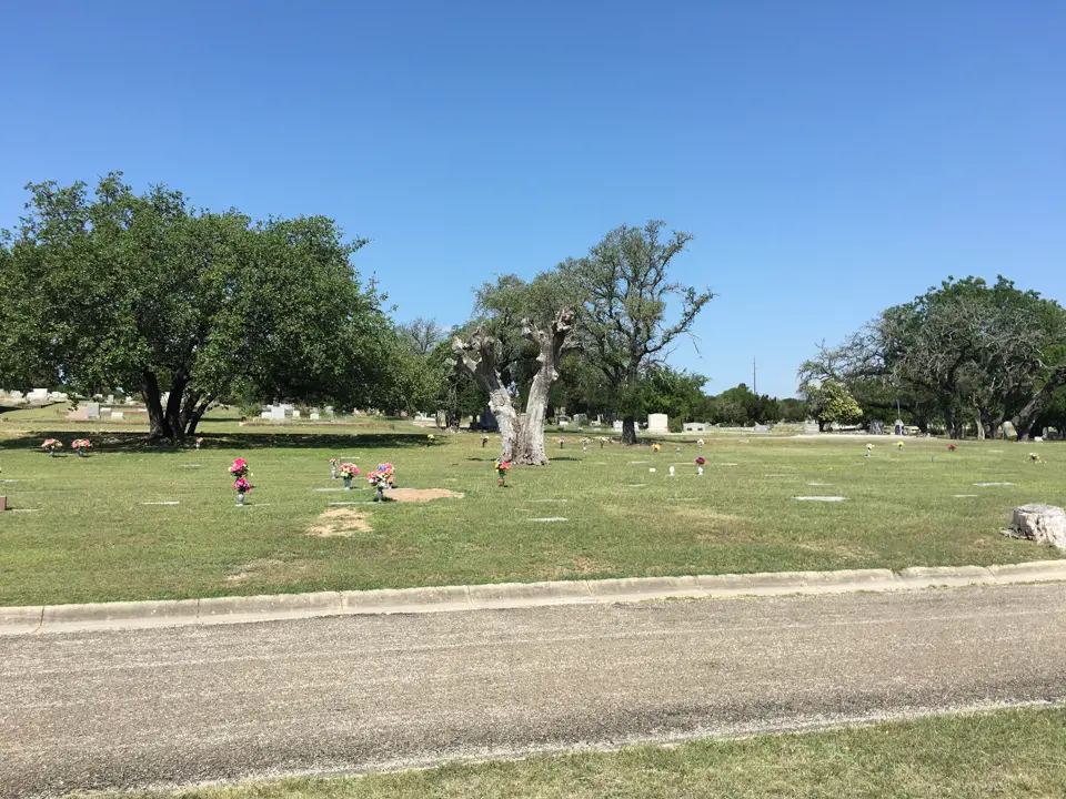
Birding Recommendations
The reservoir can be easily viewed from Avenue E. Park you vehicle and walk down to the fence line where you’ll have a good view of the closer, more narrow part of the reservoir. The wider, more distant side of the reservoir will require a scope to identify ducks and smaller birds, although larger herons and egrets will still be visible by binocular.
As for the cemetery, the potential travel paths are clearly laid out by the paved (and gravel in a few spots) stretches of road. Birders may choose to drive the whole thing, walk long stretches, or any combination.
A strategy worth considering would be enter from North Ridge Street, drive to the sharp left turn where trees along the fence line begin, walk this fence line looking for birds in the trees, drive to the reservoir, and then spend as much or little time walking near the top of the hill. This will give you maximum habitat coverage without too much effort.